傳統村落理水智慧數字化解析 ——以江西流坑村為例
傳統村落理水智慧數字化解析
——以江西流坑村為例
摘 要:在傳統村落長期除水害、興水利的營建與發展過程中,通過適應天然水體和利用地域水系形成了一整套成熟的策略,有著樸素的理水智慧。該研究從村落水系格局梳理、空間特征計算、水環境量化三個方面,對流坑村的理水策略和效果做出定性和定量的分析,探索村落理水研究的技術借助和潛力。研究結果表明,流坑村具有源頭引水-中程排水-末端調蓄的層次清晰的水系格局;通過三維點云計算可知,其選址精確利用了微地形,采用雙水源理水策略;村中塘湖可容納83%的雨水,且植被面積約占村落總面積的34.7%,具有較高的地表滲透率,中程排水效果甚佳;通過水環境質量檢測可知,其塘湖水體環境質量良好,末端調蓄功能較強。該研究旨在填補以往對傳統村落理水非量化研究的缺環,挖掘傳統村落隱沒的信息和價值,加深人們對傳統村落水利統籌、布局和營建智慧的理解,協助傳統村落水利文化遺產保護與現代利用的雙贏。
關鍵詞:理水智慧;水系格局;三維點云計算;水環境量化;水利遺產
Digital Analysis of the Water Layout Wisdom in Traditional Rural Settlements:
A Case Study on Liukeng Village in Jiangxi Province
Abstract:During the long-term construction and development process of eliminating water disasters and promoting water conservancy in traditional settlements, a set of mature strategies which have simple wisdom in water layout have been formed by adapting to natural water environment and utilize regional water system. This study makes the qualitative and quantitative analysis of the water layout strategies and effects of Liukeng village from three aspects: sorting out the water systematic pattern, calculating the spatial characteristics and quantizing the water environment, to explore the technical assist and potential of water layout research in traditional rural settlements. The results indicate that Liukeng Village has an unambiguous water systematic pattern of source diversion, medium drainage and end purification of water. Through 3D point cloud computing, it is known that the site selection makes accurate use of micro-topography and adopts the strategy of dual water source. The lake in the village can hold 83% of precipitation, and the vegetation area accounts for 34.7% of the total area of the village, which has high surface permeability and well medium drainage effect. Water detection shows that the lake gets good water quality and purification. The purpose of this study is to fill the vacancy of previous non-quantitative research on water layout, excavate the hidden information and value, and deepen people's understanding of the wisdom of the overall planning, layout and construction of water conservancy. It can provide assistance to the win-win situation of cultural heritage protection and contemporary utilization of water conservancy in traditional settlements.
Keywords:Wisdom of water layout; Water systematic pattern; 3D point cloud computing; Quantification of water environment; Water conservancy heritage
作者信息:
黃斯,天津大學建筑學院,博士研究生,yellows_arch@tju.edu.cn
李哲,天津大學建筑學院,副教授
國家自然科學基金項目(51878439、51878437、51908179)
文化和旅游部重點實驗室課題(20180508)
教育部人文社科青年基金課題(17YJCZH095)
河北省社科基金課題(HB19YS036)
編輯:趙立嬌
相關閱讀
江蘇揚州:今年實施五大攻堅行動提升城市綠化
城市道路綠化增綠行動。利用今年春季綠化黃金季節,針對城市道路綠化達標率、林蔭路覆蓋率等指標,全面開展道路綠化增綠提綠補綠,重點對87條道路的行道樹“有綠無蔭、有景少蔭”、綠化品種單一等問題進行整改,形成配置合理、錯落有致、層次清晰的道路綠化景觀【詳細】
北京昌平新城東區將打造濱水商業消費新地標
昌平新城東區位于昌平區南邵鎮,規劃建設用地面積11平方公里,規劃人口12萬,圍繞打造首都北部消費新地標編織街區控規已獲批。未來,昌平新城東區將打造成為京北體驗消費示范區、山水宜居典范城區、高水平綜合服務承載區和智慧產研創新園區【詳細】
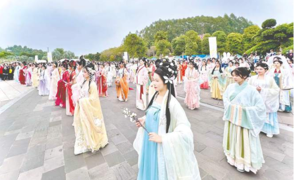
南寧園博園舉辦“禮樂園博·南寧花朝盛典”
活動期間,南寧園博園還舉辦了漢服新秀大賽、同袍巡游、及笄成人禮、國風婚禮妝照展示、明制婚禮儀式典禮、六藝游園、書畫體驗、國風集市等精彩紛呈的活動,同時邀請眾多知名國風模特參與表演展示【詳細】
成都首屆“最美公園”評選結果出爐
據成都市公園城市建設管理局相關負責人介紹,本次“最美公園”評選范圍包括23個區(市)縣已建成開放的1514個公園,包括綜合公園、口袋公園,還有郊野公園【詳細】
熱門推薦RECOMMEND
- 山地城市景觀梯度特征與城市建設耦合關系研究 ——以重慶南岸區長江水域至南山東山脊...
- 2020國際人居環境與未來城市大會暨第十屆園冶高峰論壇論文摘要集...
- Public participation enhances public value
- 傳統村落理水智慧數字化解析 ——以江西流坑村為例
- 基于“源-匯”理論的海口城市景觀格局與熱島效應響應機制
- Evaluation of Carbon Emission in Low-carbon
- 中國自然資源和可持續發展的研究現狀及未來趨勢展望——基于CiteSpace的可視化分析...
- 基于雨洪管理的社區韌性評價及優化策略研究
- 基于城市綠色生產性面積的生態補償機制研究
- 中國社區農園的空間分布特征、影響因素與發展建議分析